
Urban Development & Surveying with Drones

Urban Mapping
Revolutionize urban planning with drones. Elevate mapping precision for infrastructure development, zoning, and disaster response. Drones capture high-resolution imagery and data, optimizing city planning and management.

Topography Survey
Elevate surveying with drones, where precision meets efficiency. Drones transform land mapping, and can capture high-resolution data for construction, infrastructure, and environmental projects.

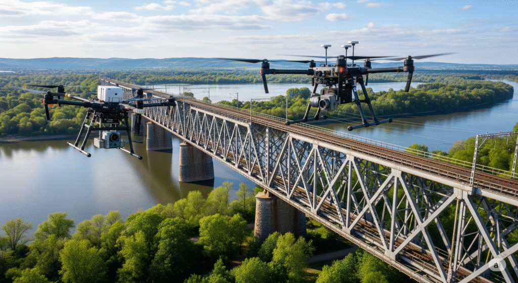
Highways & Railways
Revolutionize infrastructure development on highways and railways with drones. Enhance project efficiency, safety, and maintenance through aerial inspections. Drones optimize surveying, track monitoring, and asset management.

Data Capture
Harness the power of drones for smarter and sustainable urban landscapes. Drones capture high-resolution imagery and data for city planning. This technology is also used for traffic analysis and environmental monitoring.

Efficiency & Accuracy
Streamline survey processes with cutting-edge drone technology, enhancing accuracy and reducing project timelines. Drones provide precision and efficiency in land mapping, highways, and railways.

Project Management
Drones optimize city planning and management. This technology helps in the construction and maintenance of highways and railways by ensuring streamlined operations.
Topography Survey
Elevate surveying with drones, where precision meets efficiency as drones transform land mapping, highways, and railways. Drones capture high-resolution data for construction, infrastructure, and environmental projects. Streamline survey processes with cutting-edge drone technology, enhancing accuracy and reducing project timelines.