
Revolutionizing Industrial & Mining Operations

Intuitive Dashboards
Our platform features intuitive, persona-based dashboards that turn complex aerial data into actionable insights for smarter, faster decision-making.

Collaboration
Connect your analytics and field teams with a unified workflow for generating defect tickets, assigning tasks, and tracking repairs .

Asset Monitoring
Gain end-to-end visibility of your assets across the entire power cycle, from generation to grid, all from a single platform .

AI Analytics
Utilize AI-driven analytics to predict potential failures before they occur and automate the conversion of raw data into actionable reports.

Data Accuracy
Make decisions with confidence based on high-precision data captured by advanced LiDAR, thermal, and high-resolution visual sensors

Cost Savings
Lower your operational costs through predictive maintenance that reduces manpower needs, unnecessary site visits, and equipment deployment .
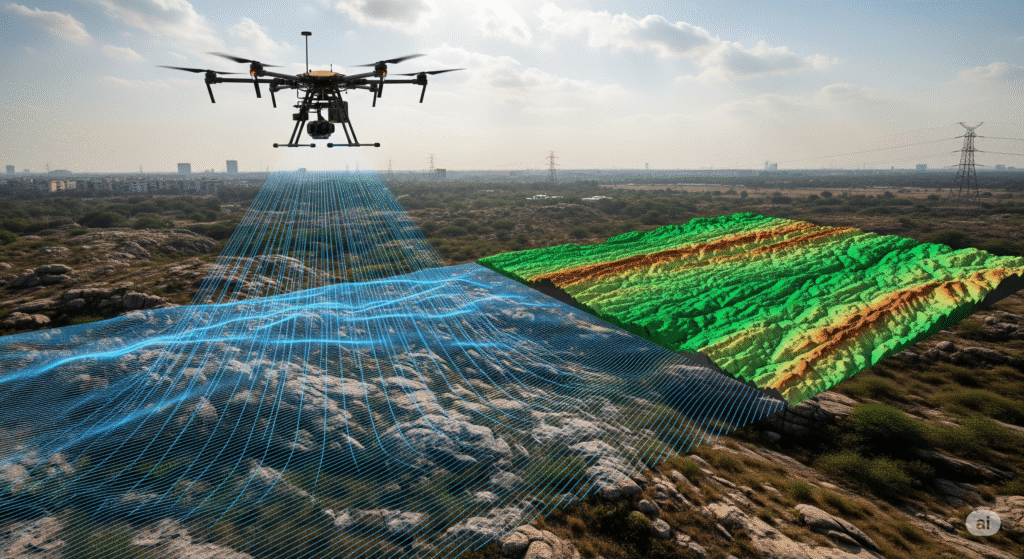
AERIAL LIDAR
Achieve unparalleled accuracy in terrain modelling, forestry assessments, and infrastructure
mapping. Drones with LiDAR redefine data acquisi on, providing high-resolu on 3D insights
for industries like urban planning, forestry, and environmental monitoring.